Decerno, part of the Process Management division, has partnered with the City of Stockholm’s City Planning Department to develop an AI-based solution to automate and streamline maintenance of the City’s geodata system. The department is responsible for physical planning in Stockholm, including detailed development plans, building permits, surveying, and producing maps and digital city models. The new solution strengthens the City’s ability to maintain accurate and up-to-date geographic information, a prerequisite for planning and analysis of sustainable urban development.
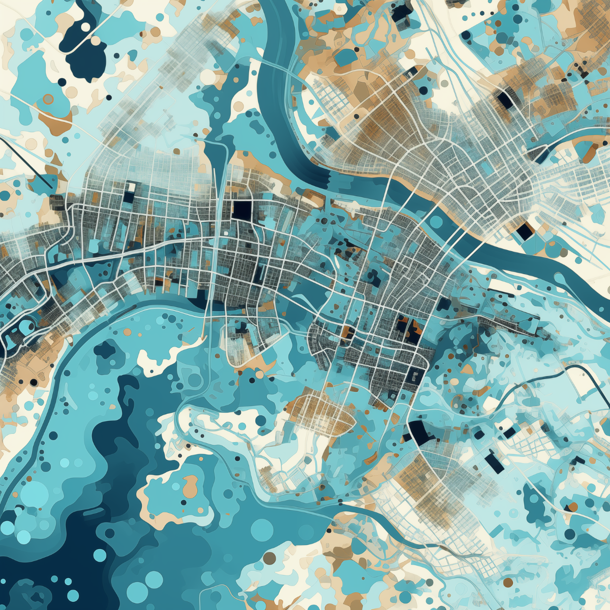
The City of Stockholm was looking for a more efficient and scalable way to update maps and digital geodata. To improve data quality and meet the City’s growing information needs, Decerno developed GAIA, an open AI tool that compares new aerial images with existing maps using segmentation and classification models. The system identifies changes, such as vegetation, new construction and unregistered objects, and automatically generates vector-based map updates for further review and integration into the City’s geodata system.
GAIA cuts down on manual work, targeting a minimum reduction of 75 percent. Updating maps and digital geodata has also become more accurate, comprehensive and frequent. By combining AI and an open approach to innovation, Stockholm has gained a more efficient, data-driven platform for future urban planning.